Implementation of actions
to combat saltwater intrusion in Corsica
Customer needs
Customer issues
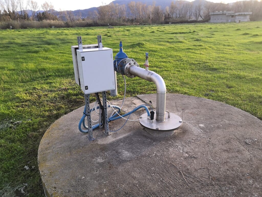
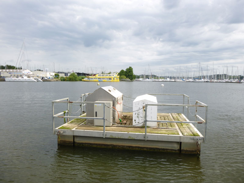
The communauté de commune de Marana Golo (CCMG) is a Corsican local authority that operates a catchment area of around ten boreholes located in the alluvial groundwater of the river Golo. Situated in a coastal area around 4 kilometres from the sea, this wellfield is potentially vulnerable to seawater intrusion.
In 2015, Imageau was called in to monitor changes in the salinity of the water table in the catchment area. At the time, we installed our SMD probes to monitor this salt-water wedge phenomenon.
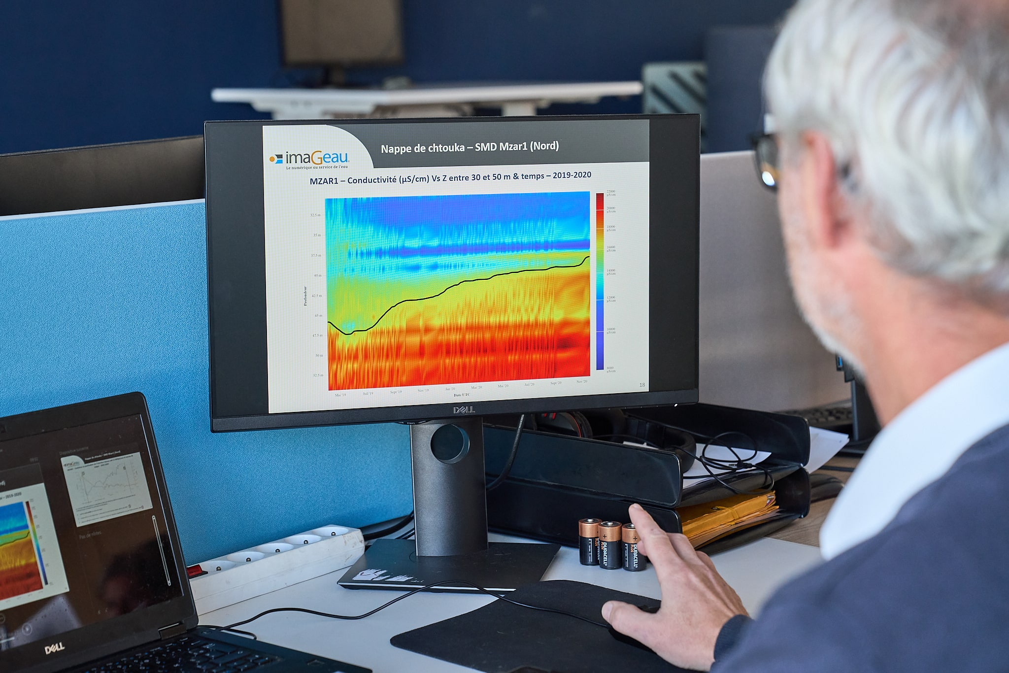
In 2017, exceptionally high increases in conductivity were recorded by our SMDs at the catchment site, reaching such a point that partial interruption of drilling was necessary because the water was unfit for consumption.
The customer then asked us to find a solution that would enable it to manage operations while taking account of the salinity of the water table.
Assets :
6 SMD probes installed

The Imageau solution
We proposed to the Marana Golo local authority that we create a management tool based on a model of the salinity problem, in order to provide it with precise indicators for managing its operations.
Acquiring as much data as possible
The project is being carried out over several years to enable us to collect as much quality data as possible. Various hypotheses for the salinisation of the water table are being studied: salt rising from the river and having a direct, one-off impact on the water table at the wellfield, or the slow salinisation of the water table by exchanges between the water table and the river further downstream.
We therefore set out to study the type of aquifer and its relationship with the River Golo, in order to understand their interactions. To do this, we undertook a number of actions:
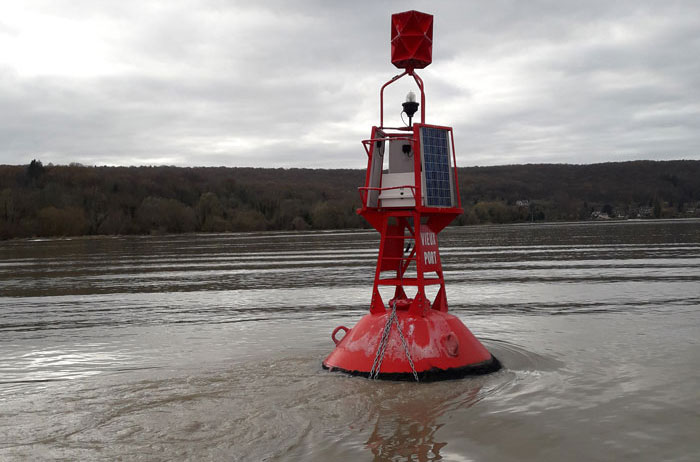
- Campaigns to measure the salinity of the river at the edge of the wellfield, but also from the mouth of the sea to the farm, in order to observe the salinity gradient of the Golo, particularly during the summer, when the flow is lower and seawater rises more significantly.
- Geophysical prospecting campaigns to map the depth of the various geological layers (and the presence of the aquifer) and to locate the position of the salt wedge.
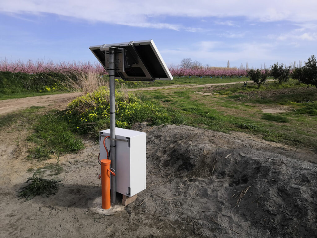
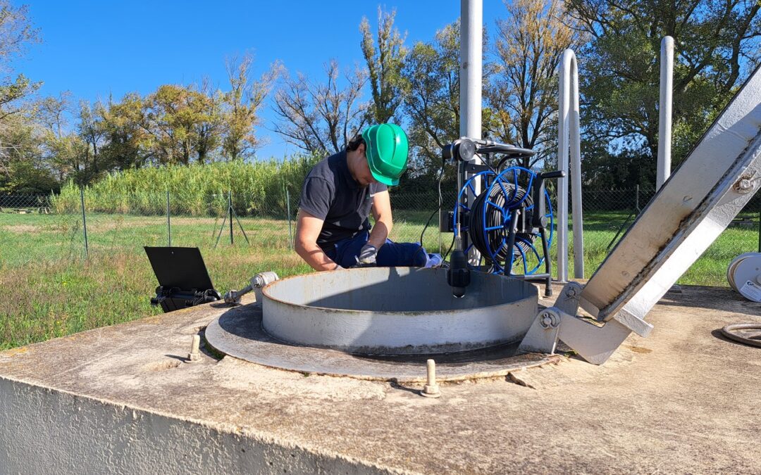
- The installation of conductivity probes in the SMD aquifer at different depths: 3 in the well field and 3 between the well field and the sea, enabling us to monitor the salinity of the aquifer in its natural state and to observe the depths at which brackish water infiltrates preferentially.
These interventions, measurements and observations have enabled us to acquire invaluable data on the water table as a whole – not just at the level of the catchment field – in order to understand, in particular, how the water flows or in which direction it flows naturally.
This collection of data over several years is very important, as it enables us to build an accurate and well-calibrated hydrogeological model, on which we base our recommendations.
Creation of an accurate hydrogeological model
We use this information to build and calibrate a hydrogeological model, so that we can model very accurately :
- The flow of the water table under study
- The salinisation of the water table as a function of its level, its use, tidal coefficients, the flow of the Golo, etc.
The 3D hydrogeological model enables us to reproduce as accurately as possible the data measured over the course of the hydrogeological year.
This information enables us to understand how the whole system is structured, and how it behaves in different situations. And it is on the basis of this essential work that we are then able to simulate what has happened in the past, but above all what could happen in the future.
Simulating past and future scenarios
Our main objective is to provide the Marana Golo Community of Communes with the tools it needs to manage its catchment area as effectively as possible over the long term, and to enable it to plan ahead for the next 5 to 20 years.
To do this, using the model that has been built and calibrated against the historical data, we are carrying out a number of simulations on the risks of saline intrusion into the water table as a function of several events.
Among these simulations, we will study
- The piezometric response and the position of the saline wedge during an increase in abstraction from the wellfield in a succession of dry years.
- Increased use of the wellfield on the water table and the position of the salt wedge
- A reduction in rainfall in line with what can be predicted by the IPCC’s meteorological models.
- Management scenarios for the wellfield for 5, 10 and 20 years.
These scenarios will enable us to draw up concrete indicators that the Marana Golo commune can use as a basis for managing its operations accordingly.
Developing indicators
Thanks to the study of the behaviour of the water table, as well as the various past and future scenarios, we are able to establish a certain number of indicators that the commune can use as a basis for adapting and managing the operation of its water catchments as effectively as possible.
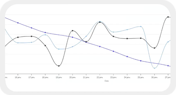
There are many different kinds of indicators. It may be the water level in one piezometer or the conductivity level measured in another that alerts the customer to the risk of saline intrusion. This then enables them to anticipate and adjust the management of their operations accordingly: pumping less hard on the borehole, which borehole to activate more than another, at what flow rate, etc.
In this way, the local authority is aware of the alert thresholds to which it must be vigilant, and the behaviour to adopt to avoid the phenomenon of the salt wedge, thus guaranteeing the longevity of its operation.
Project participants
Denis Neyens
As the originator of the development of hydro-geophysical probes (SMD, Patent FR2993055A1- (2012)) and as a manager of innovative projects, I attach particular importance to integrating a multidisciplinary, multi-scale approach into my projects, based on cross-referencing complementary data (geophysical, hydrogeological, geochemical, etc.).
My expertise is based on over fifteen years’ experience of analysing and interpreting data in order to provide innovative solutions for managing groundwater, particularly in coastal areas affected by saline intrusions.
I’m in charge of European scientific projects at imaGeau and I’m currently developing collaborative projects (private/public) on groundwater recharge solutions to limit the impact of droughts and the advance of saline intrusions.
Antea Group
We are conducting this project in partnership with Antea Group, a company specialising in environmental engineering and consultancy. We are working together to reproduce past salinisation events and simulate future scenarios, in order to draw up a list of reference indicators.
Do you operate a wellfield exposed to the risk of salt water intrusion?
The project in pictures
