Free continuous information service
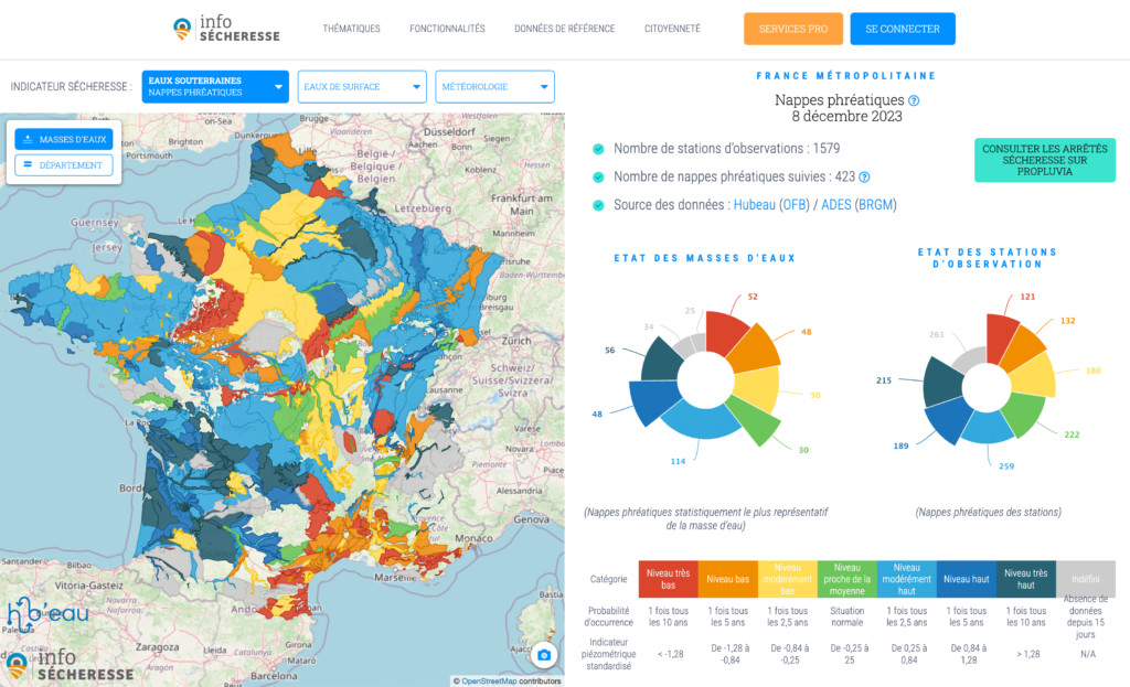
Get a real-time overview of the drought situation in France
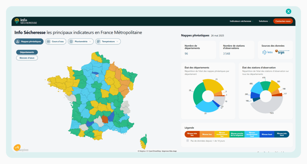
Info Sécheresse, a free decision-making and awareness-raising service, gives you real-time access to detailed data at national and regional level.
Benefit from a maximum amount of data
in a single application
Météo
- 70 years of daily rainfall and temperature data
- 1,053 weather stations monitored, updated daily
Waterways
- Over 30 years of data
- 1,480 flow measurement stations monitored, updated daily
Streams
- 9 years of data
- 3,017 observation stations monitored, updated monthly
Ground and deep water
- 15 years of data
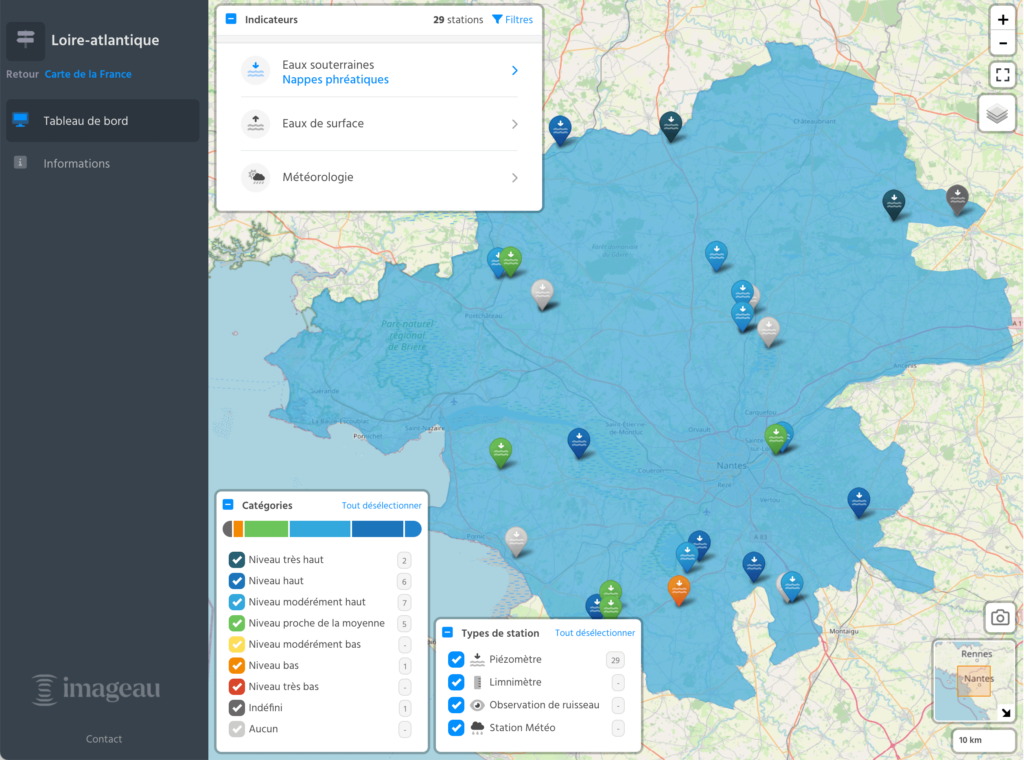
- 4,000 piezometers monitored, updated regularly
All emi features
A platform designed for water stakeholders and the general public
Free access to drought indicators
Access a wealth of information free of charge by creating an EMI account
Consult over 30,000 drought indicators updated daily
View 50 years of raw data
Make your decision-makingeasier
Use an intuitive platform that makes it easier for everyone involved in drought to understand and make decisions
Benefit from a multi-factorial approach combining meteorological, hydrological and hydrogeological data
Share clear, visual information
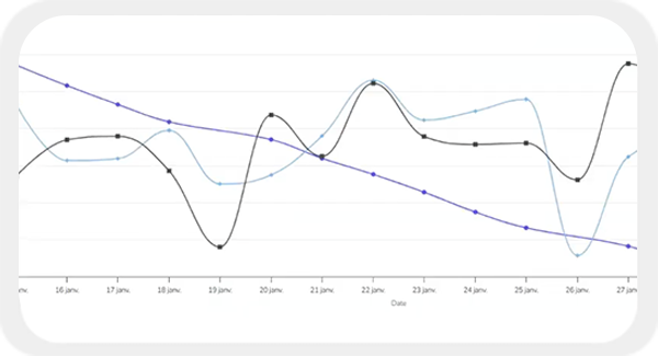
Access graphs and maps to make it easier to share information
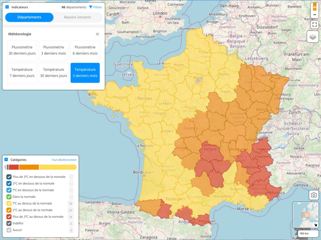
Import summary maps in PNG format
All the features of the Info Sécheresse platform
Raw data validation/filters
- Detect any metrology malfunctions and filter out erroneous or missing data.
Drought orders in real time
-
Instantly view current drought alerts for your area and water catchments, or for the whole of France.
-
You can also access the detailed characteristics of each prefectoral drought decree: municipalities concerned, period of validity, restrictions, history.
- Make analysis and decision-making easier with a host of tools: maps, pre-built graphs, cross-graphs, data export, etc.
- Be automatically alerted to any abnormal situation: sensor failure, indicator status change, malfunction, etc.
- Automatically interpret your raw data and transform it into decision-making indicators.

A service financed by the Saur Group via its subsidiary IMAGEAU
Info Sécheresse is a self-financed application for the general public, made available free of charge by imaGeau to help those involved in the water sector to manage droughts.
Developed on the basis of the EMI application, it represents over 6,000 hours of work in IT development and environmental expertise.
This platform is fully in line with the Saur group’s mission to protect water resources, to ensure that they are of sufficient quality and quantity for everyone in the long term.
